
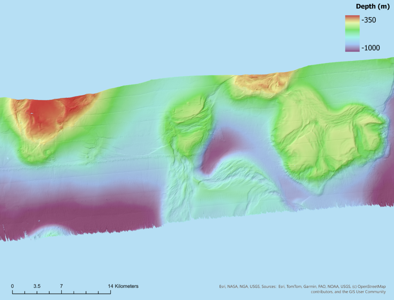
Following on from our earlier look at VK 906 , graduate student Lexie DelViscio has been working on a new multibeam surface. This one covers the area around Tunica Mound and Jeanerette Hill in the northern Gulf of Mexico. The data come from NOAA Ship Okeanos Explorer mission EX1402 Leg 2, collected in spring 2014 and freely available through NCEI.
My workflow in QPS Qimera was similar to that of VK 906, with a few changes:
- SVP correction with XBTs. I sound-velocity corrected the lines using the XBT casts collected during the cruise.
- TU Delft Sound Speed Inversion. This is a Qimera tool developed with Delft University of Technology. It uses the overlap between neighboring survey lines to estimate sound speed corrections that best line up the overlapping swaths. This reduces the refraction “smiles” and “frowns” in the outer beams that sparse or mistimed sound speed profiles can leave behind.
- 3D Editor cleaning. I removed spikes and other poor-quality soundings in the 3D Editor alongside the slice editor.
- Gridding. The final surface is a CUBE grid at 20 m resolution.
Mapping in ArcGIS Pro
I exported the surface from Qimera as a single-band ESRI ASCII grid. In ArcGIS Pro, I set the empty cells (stored as 0) to NoData and defined the coordinate system (WGS 1984 UTM Zone 15N). I then draped the depths over a hillshade with 3× vertical exaggeration so the relief stands out. Some artefacts are still visible, mainly along-track striping / nadir artefacts at line edges.
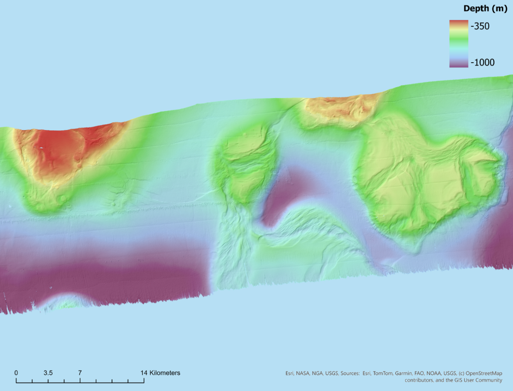
Figure: Multibeam bathymetry of Jeanerette Hill and Tunica Mound from NOAA Ship Okeanos Explorer EX1402 Leg 2 (EM302, 2014; NOAA Ocean Exploration / NCEI). Processed in QPS Qimera (CUBE, 20 m) and mapped in ArcGIS Pro by L. DelViscio. Depths shown over a hillshade with 3× vertical exaggeration.
Qimera was provided by QPS.